

Volcanic eruption Casestudies
Volcano Learning Zone > Volcanic eruption Casestudies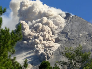
Volcanic eruption casestudies of some of the worlds most famous volcanic eruptions.
Merapi 2006 and 2010: One of Indonesia s many volcanoes and one of its most dangerous.
Mt St Helens 1980: This eruption started a new era in volcanology.
Montserrat 1995-98: The tiny island with the big volcano.
Iceland Ash Cloud 2010-11. Eyjafjallajokull. The ash cloud disrupted air travel all oer Europe.
Kilauea : One of the worlds most active volcanoes located on Big Island.